Restoring Southeast Trout Streams to Their Original Footings
We combine fluvial geomorphology, native bioengineering, and real-time IoT stream monitoring to stabilize banks, lower water temperatures, and generate USACE Savannah District stream mitigation credits across North Georgia.
Our Ecological Restoration Approach
Traditional hard civil engineering accelerates water flow, destroys habitats, and increases downstream erosion. We utilize Natural Channel Design (NCD) to restore streams back to their stable bankfull geometry.
Trout Life Ecology
Wild trout are highly sensitive indicator species requiring specific, coldwater conditions to survive and spawn:
- Coldwater Habitats: Water temperatures must remain below 65°F (lethal threshold is 68°F).
- High Oxygen: Turbulent rocky riffles aerate the water to supply >7 mg/L dissolved oxygen.
- Clean Spawning Gravel: Sorted, silt-free gravel is essential for wild trout spawning nests ("redds").
The Stormwater Runoff Threat
Rapid regional development and road erosion cause peak stormwater runoff that destroys old mountain streams:
- Channel Overwidening: Extreme flows tear away banks, making channels wide, shallow, and warm.
- Clay & Sand Siltation: Sediment washes down slopes, smothering cobbles and spawning beds.
- EPT Food Chain Collapse: Mayflies and Caddisflies are obliterated, destroying the food web.
Natural Bioengineering
We use native wood, logs, root wads, and boulder cross-vanes to stabilize channels and trap sediment naturally:
- Priority 1 Geomorphic Design: Narrowing channel bankfull widths to scour deep holding pools.
- Instream Structures: Installing J-hooks and log vanes to redirect outer bank shear stress.
- 100ft Canopy Buffers: Planting native Eastern Hemlocks to restore shade and lower water temperatures.
Connecting Fly Fishing Niche & Geomorphic Science
Hunter Morris's years guiding wild trout trips on Fly Fishing North Georgia revealed a painful truth: North Georgia’s legendary trout reaches are being destroyed by silt and heat. Here is how geomorphic stream restoration saves these waters.
Why Traditional Stream Work Fails Wild Trout
Standard contractors look at streams as drainage ditches. They pile up heavy granite rip-rap, straighten channels, and clear trees to control erosion. This is a disaster for trout. It speeds up current, raises temperatures, obliterates holding pools, and silts over critical gravel spawning beds.
Trout don't just need water—they need structural complexity. They need deep holding water under banks, cold thermoclines, swift food-producing riffles, and gravel nesting riffles (redds) that are clean of sand.
Natural Channel Design
We rebuild streams utilizing bankfull ratios that naturally transport gravel, keeping channels stable for generations.
Coldwater Bioengineering
We install organic wood debris, tag alders, and boulder vanes that double as protective overhead cover for trophy brown trout.
Save Our Streams USA Inc. Differentiators
Instream Drop-Step Traps
Constructed of natural hemlock and oak logs to trap uphill logging sand, scouring deep plunge pools for large trout refuge.
Root-Wad Revetments
Interlocked hardwood root balls driven into eroding meanders to buffer current velocity while offering wild trout premier shade.
Double Log Vanes
Angled timber structures that focus the stream's kinetic power into the center, flushing clay to uncover critical spawning gravel.
Real-Time IoT Stream Monitoring
Custom solar-powered sensor boxes measure dissolved oxygen and water temperature 24/7 — continuous performance data designed to go beyond annual monitoring reports and support timely credit releases.
Flagship Projects
Our North Georgia project pipeline — a commercial stream mitigation reach now in the USACE pre-application process, and a private landowner showcase demonstrating trout habitat restoration.
Sandra's Cabin: Noontootla Creek Section C Stream Mitigation
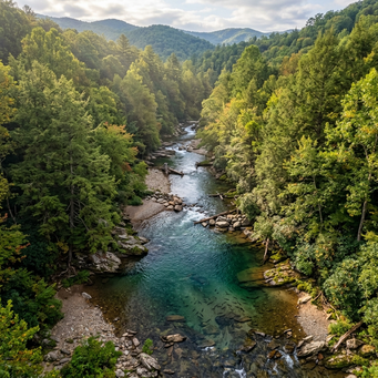
Located on a 30-acre lot on Noontootla Creek in the Upper Toccoa watershed (Fannin County), this flagship reach is a perennial coldwater trout stream showing channel over-widening, chronic sediment loading, and bank instability. Our design intent is to restore it to a stable, gravel-dominated Rosgen C4 meander reconnected to its historic floodplain.
The Section C baseline field survey was completed in July 2026 — 119 geotagged photographic frames with stadia-rod depth, bank-height, and sediment measurements — and the project has entered the USACE Savannah District pre-application process, targeting credit generation under the District's Stream Mitigation SOP.
Hunter's Cabin: Goldmine Hollow Step-Pools
Located along the legendary wild trout waters of Noontootla Creek, this steep mountain tributary project serves as our premium private landowner showroom. We designed and built natural log step-pools and sediment traps to capture high-velocity stormwater and unpaved road sand runoff before it enters Noontootla Creek.
This "living showroom" demonstrates to private estate owners how bioengineering stabilizes cabin creek banks, cleans spawning gravel, and scours beautiful plunge-pools for trophy trout.
Program Milestones & Regulatory Roadmap
Stream mitigation credits are earned through a rigorous federal process. Here is exactly where our flagship Noontootla Creek program stands — documented step by step.
-
July 7 & 9, 2026
Baseline Field Survey Complete
119 geotagged photographic frames across the 2,020-ft Section C reach, with stadia-rod depth, bank-height, and sediment measurements compiled into a formal field documentation report.
-
July 20, 2026
Pre-Application Package Submitted
Meeting request and baseline report delivered to the USACE Savannah District Mitigation Branch, covering the prospectus process, credit generation under the District Stream SOP, and Nationwide Permit 27 authorization pathways.
-
August 2026
Pre-Application Consultation — Scheduled
Guidance call with the Savannah District Mitigation Branch confirmed, to align the program with District requirements from the outset and scope a potential Interagency Review Team site walkover.
-
Next
Site Walkover & Prospectus
Informal site visit / IRT walkover of the Noontootla Creek reach, followed by prospectus development under the Savannah District Stream SOP.
-
Then
Approval, Construction & Credit Release
Mitigation instrument approval and permit authorization, Natural Channel Design construction, and phased credit releases backed by continuous IoT monitoring data.
Who We Are
Technology, fly fishing, and real estate — one team helping North Georgia landowners turn degraded stream corridors into thriving wild trout water and durable, risk-free income.
Fly Fishing & Stream Science
Fifteen-plus years guiding North Georgia trout water gives us what no consultant has: day-in, day-out knowledge of how healthy streams behave — riffle by riffle, season by season — applied through Rosgen Natural Channel Design.
Technology & Data
Geotagged photographic baselines, real-time IoT stream monitoring, and data-driven design turn restoration into a measurable, auditable asset — the documentation USACE reviewers and credit buyers expect.
Real Estate & Capital
Institutional underwriting, entitlement, and capital structuring experience across the Southeast means landowner agreements that are simple, fair, and fully funded — you never write a check.
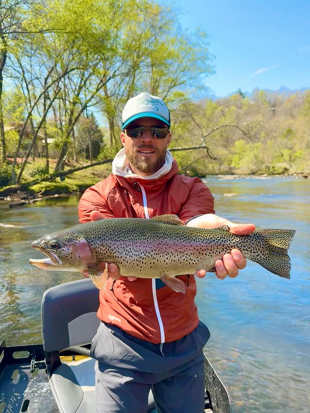
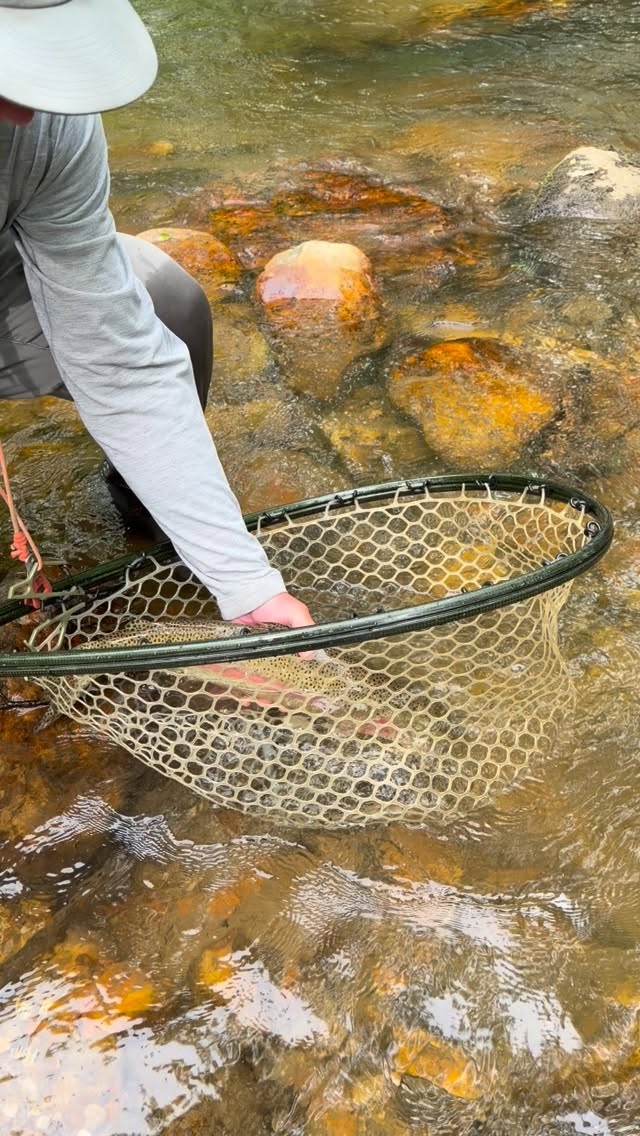
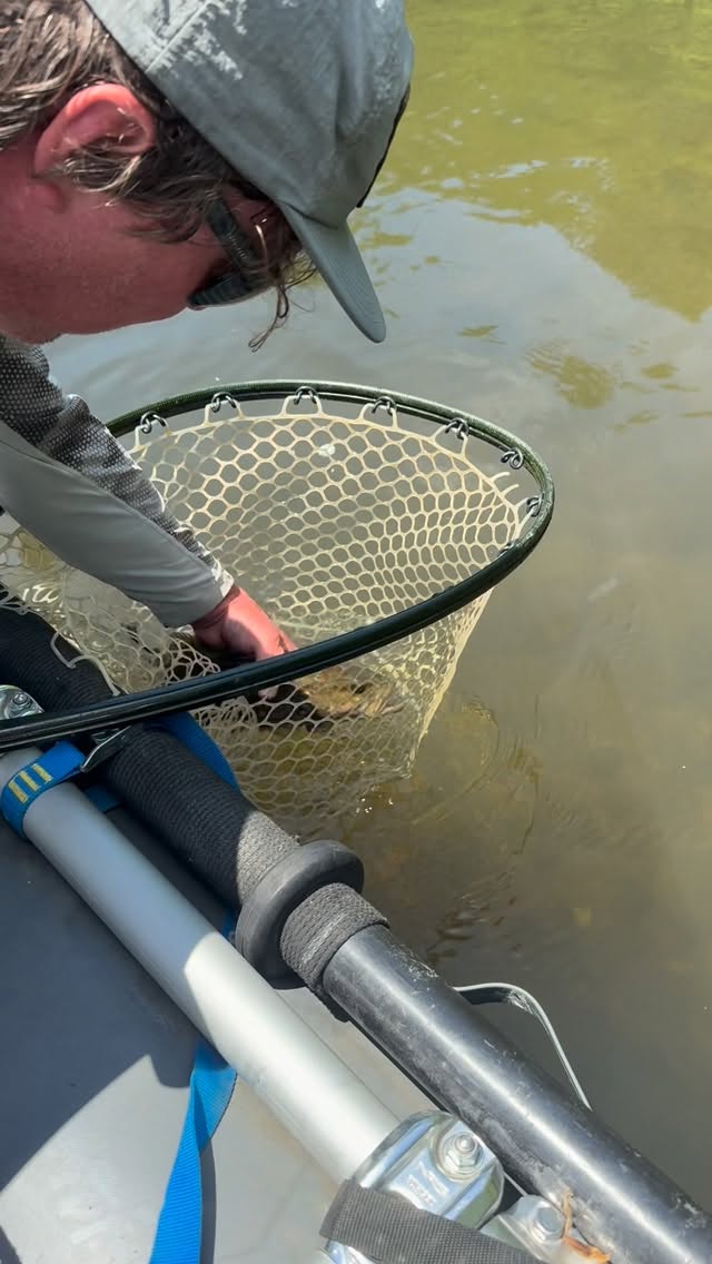
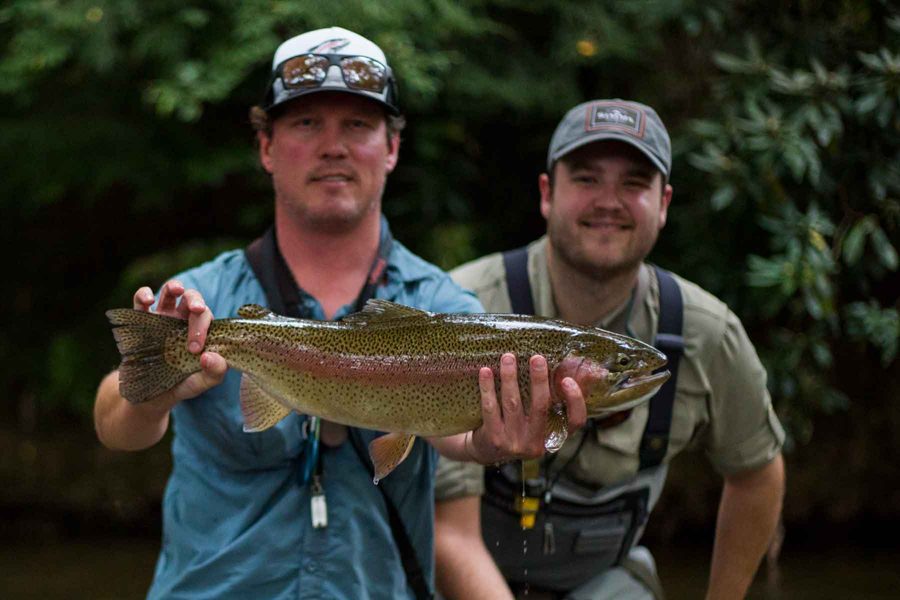
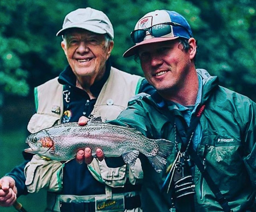
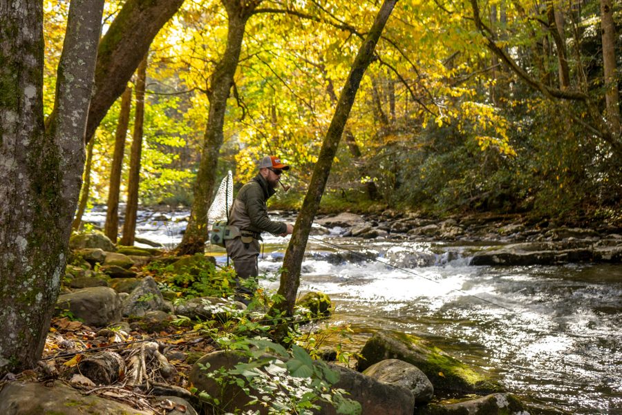
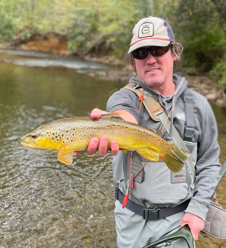
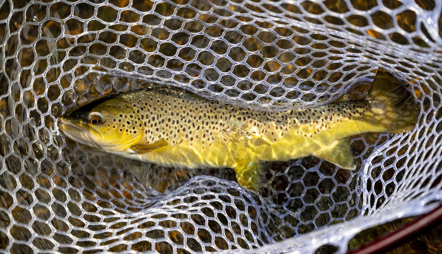
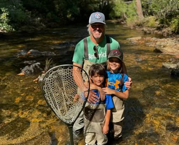
From the water · @flyfishingnorthgeorgia · flyfishingnorthgeorgia.com
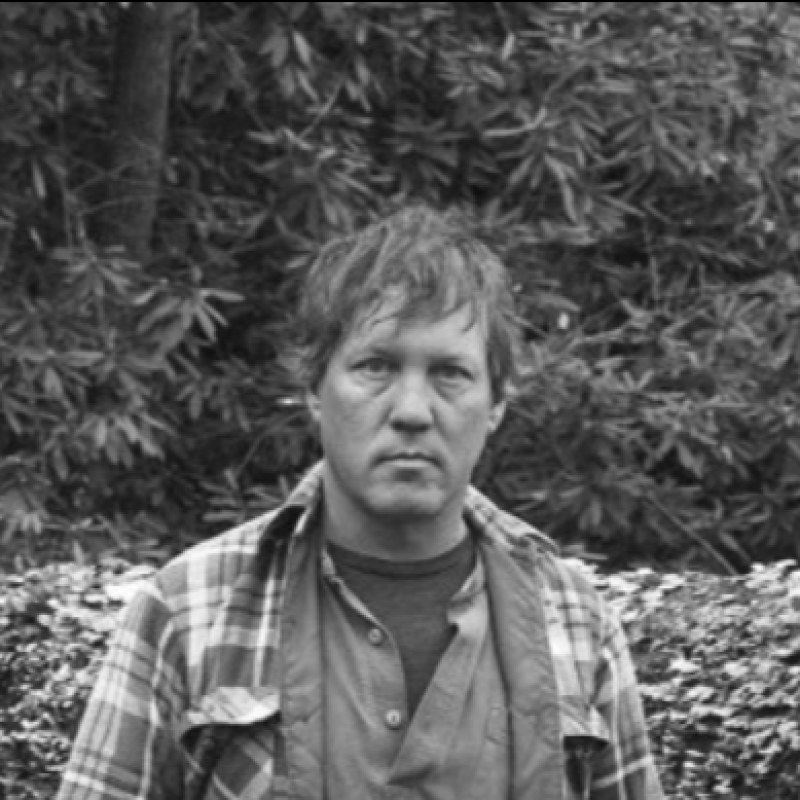
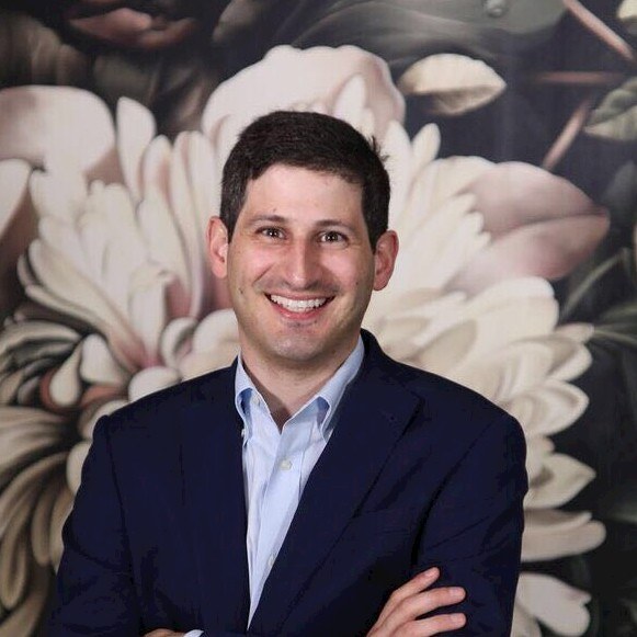
Hunter Morris & Hadi Irvani
Co-Founder & Managing Director • Board Member
Hunter Morris
Principal and owner of Fly Fishing North Georgia. Expert fluvial geomorphologist with 15+ years of guiding and stream hydraulic experience in Gilmer and Fannin counties. Hunter combines technical Natural Channel Design (NCD) with live soil bioengineering to build pristine wild trout sanctuaries that naturally transport sediment and protect shorelines.
Hadi Irvani
Principal at Granite Holdings and General Partner at Infill Capital Partners. Alumnus of the University of Virginia (UVA) and member of the Entrepreneurs' Organization (EO). Leading regional real estate, industrial logistics, and asset investor, providing capital governance, underwriting structures, and strategic B2B scaling.
Free Trout Stream Restoration & High-Yield Credit Splits
If you own agricultural pasture or mountain forest land in North Georgia with at least 500 feet of degraded or eroding stream corridor, we can fully design, permit, construct, and maintain a pristine wild trout sanctuary at zero out-of-pocket cost to you — and you receive a 30% share of the stream mitigation credits the project generates once approved and released by USACE.
How It Works: Sourcing Economics
Mitigation banking under the U.S. Army Corps of Engineers (USACE) Savannah District allows us to transform your degraded, eroding streambed into a valuable ecological asset. Because our team absorbs 100% of capital risks—funding the geomorphic survey, complex HEC-RAS hydraulic models, buffer native plantings, and mandatory USACE construction bonds—you enjoy a risk-free partnership.
🏆 Landowner Benefits
- 🐟 Pristine Wild Trout Sanctuary: Deep scoured pools, clean spawning cobbles, and dense native canopy.
- 🛡️ Stop Active Bank Loss: Halt the mudslides and bank collapses washing away your property.
- 💼 No-Cost Revenue Share: Receive 30% of released credit sale proceeds — no out-of-pocket expenses at any stage.
- 🌾 Perpetual Preservation: Secure and protect your mountain legacy for future generations.
📈 Free Stream Restoration Yield Estimator
Frequently Asked Questions
Straight answers on stream mitigation credits, landowner economics, and the USACE process in North Georgia.
What does stream restoration cost a landowner?
Nothing out of pocket. Save Our Streams funds the geomorphic survey, design, permitting, construction, plantings, and monitoring. In return, you receive a 30% share of the proceeds when USACE-released stream mitigation credits are sold.
What are stream mitigation credits?
Under Section 404 of the Clean Water Act, developers whose projects impact streams must compensate by purchasing mitigation credits. Credits are generated by restoring degraded streams under USACE oversight — in Georgia, per the Savannah District's Stream Mitigation SOP.
Who buys the credits?
Commercial developers, utilities, and infrastructure builders that need compensatory stream mitigation for USACE permits or Georgia EPD buffer variances within the same watershed service area.
When are credits released and sold?
In phases tied to USACE milestones — instrument or permit approval, construction completion, and demonstrated ecological performance during monitoring years. It is a multi-year process, and our continuous IoT stream monitoring is designed to support each release with hard data.
Will restoration improve the fishing on my property?
That is the point. Natural Channel Design creates deeper holding pools, colder water, cleaner spawning gravel, and stable banks — designed by a working North Georgia trout guide, not a drainage contractor.
Do I give up control of my land?
You keep ownership. The restored stream corridor is placed under a long-term protection mechanism (such as a conservation easement or deed restriction) so the ecological gains — and your credit value — are permanent. Terms are set out clearly in the landowner agreement before any work begins.
Is my stream eligible?
If you own land in North Georgia's trout watersheds (Toccoa, Coosa, Etowah, or Upper Chattahoochee basins) with roughly 500 feet or more of degraded, eroding perennial stream, you are a strong candidate. The field audit is free.
Where does the program stand today?
Our flagship Noontootla Creek reach in Fannin County has a completed baseline field survey, and a pre-application consultation with the USACE Savannah District Mitigation Branch is scheduled for August 2026. See the full regulatory roadmap above.
Southeast B2B Credit Supply & Consulting
Are you a commercial developer facing compensatory stream mitigation requirements under USACE permits or Georgia EPD buffer variances? We are building a North Georgia pipeline of stream mitigation credits under the Savannah District SOP — register your interest to be first in line as credits are approved and released.
Coosa, Etowah, Upper Chattahoochee, Toccoa/Ocoee
Savannah District USACE Stream Mitigation Ledgers